
When Convenience Rewrites the Map
Indoor digital visualization, digital twins, and the bridge between prevention and response
By Chris Grollnek, Chairman of the Board and Founding Principal, Active Shooter Prevention Project, LLC (ASPP™)
Architect of the P.R.O. Model™ (Prevention. Response. Options.)
Paper maps did not fail because someone proved they were wrong. They failed because GPS made them irrelevant. Nobody held a meeting about it and nobody voted. The better thing arrived, it was easier, and the old thing quietly stopped mattering. That is how disruption actually works, and it is worth saying plainly because the same thing is happening right now inside buildings, and most of the safety industry has not noticed.
In October I stood on the main stage at R-CON, the Reality Capture Network conference in Boise, and put a single sentence on the screen.
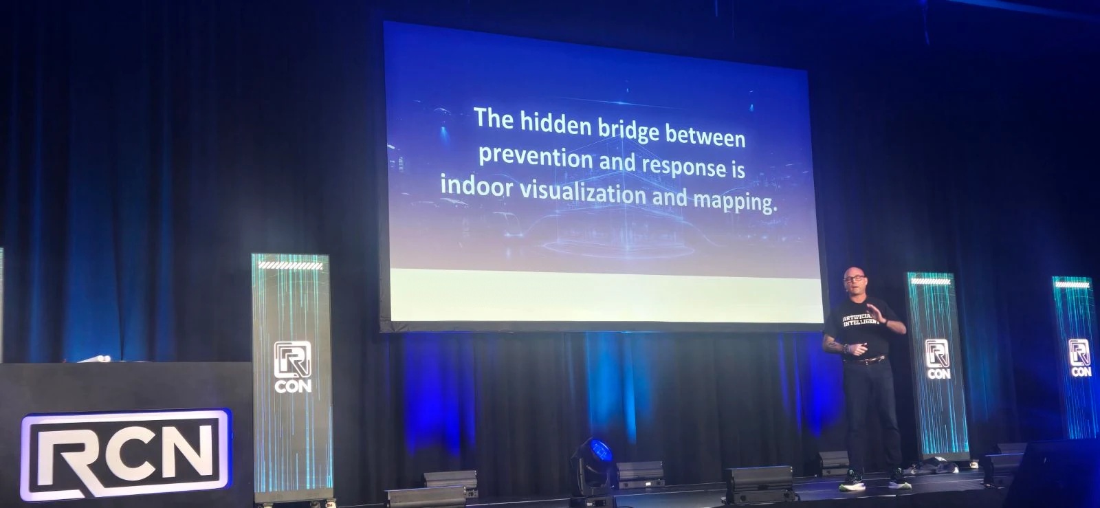
The hidden bridge between prevention and response is indoor visualization and mapping. That is the whole argument, and I want to explain why it is not a technology pitch.
Prevention and response have never actually talked to each other
Prevention is everything that happens before. Behavioral threat assessment, access control, screening, reporting culture, the long unglamorous work of noticing a person in crisis early enough to do something about it. Response is everything that happens after. Officers moving toward the sound, triage, reunification, the parts that end up on television.
These two disciplines have been built by different people, funded from different budgets, and measured by different standards for thirty years. They rarely share a vocabulary and they almost never share a dataset. We have spent a generation improving each half separately while the seam between them stayed exactly as weak as it was.
There is one thing that both halves need and neither owns: an accurate, current, shared understanding of the inside of the building. Prevention needs it to know where the gaps are, which door actually latches, which camera actually sees, where a person could stage without being observed. Response needs it to know where it is going. Same data. Two different reasons. Nobody was producing it for both.
Static model, living twin, operational platform
The shift that matters is not that buildings can be scanned. Buildings have been scanned for years, and a scan on its own is a souvenir. The shift is what happens after the scan.
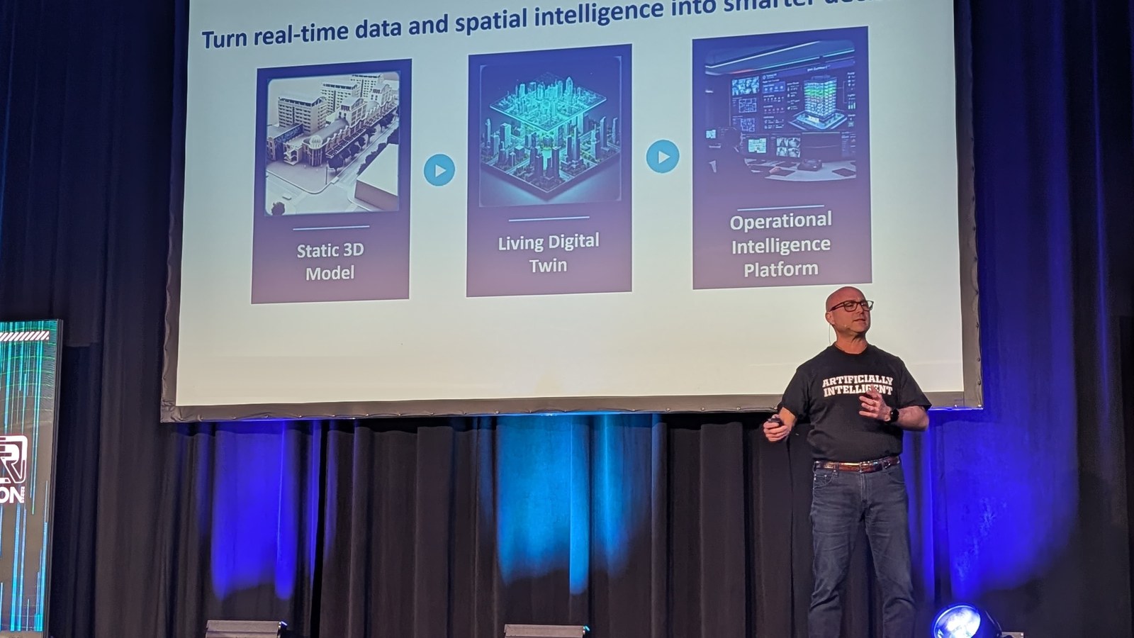
A static 3D model is a picture of a building at one moment. A living digital twin is that model kept current and joined to the systems already running inside the building, which means it knows which doors are locked right now and which sensors are reporting. An operational intelligence platform is that twin put in front of a human being who has to make a decision in the next ninety seconds.
Prevention lives in the first two. Response lives in the third. The reason indoor visualization is the bridge is that it is the same spatial record all the way across, and it is the first thing in this field that is genuinely useful to both sides without being translated.
This is not a forecast, it is already in statute
The usual way to argue a point like this is to quote a market-size projection. I would rather point at things a reader can go and check.
The federal government has been funding exactly this since 2018. The National Institute of Standards and Technology, through its Public Safety Communications Research Division, ran Point Cloud City, putting more than $750,000 into building annotated 3D interior datasets specifically so first responders could navigate inside buildings. Memphis built Map901 under that program, explicitly described as rich interior hazard maps for first responders. Enfield, Connecticut and Hancock County, Mississippi did the same. That was eight years ago, and it was framed as a public safety problem, not a surveying one.
The Open Geospatial Consortium has run indoor mapping and navigation pilots on the same premise. The National Alliance for Public Safety GIS Foundation has carried indoor location and mapping on its public safety technology gap list for years, which is a polite way of saying the people who respond have been asking for this and not getting it.
And states have stopped asking. Legislatures across the country have moved critical incident mapping of schools from a good idea into law, with thousands of schools now required to hold current, verified, first-responder-ready digital maps rather than a laminated floor plan in a binder in the front office. Government Technology reported in May 2024 that eleven more states were joining the more than fourteen thousand schools already carrying this data. Check your own state before you assume it does not apply to you.
So the question is no longer whether indoor spatial data matters. That argument is finished. The question is whether the data you hold is good enough to act on, and who is responsible for keeping it current.
What we are doing about it
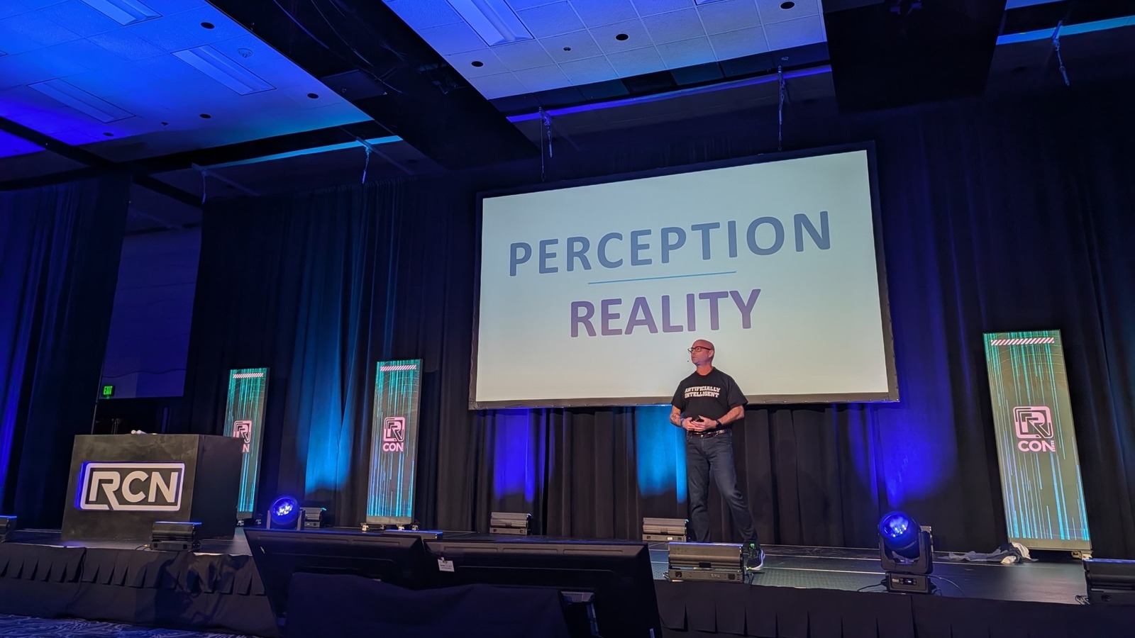
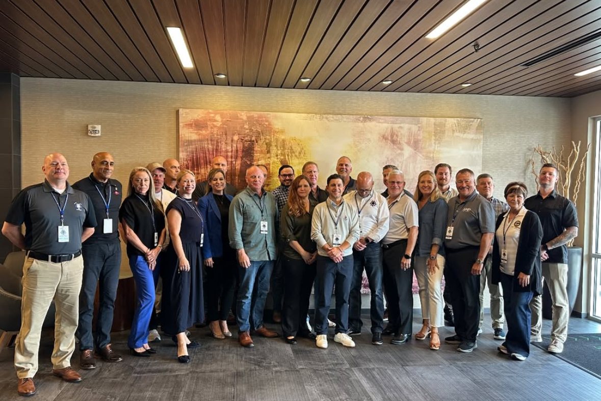
I took the stage at R-CON with the Active Shooter Prevention Project, LLC and brought digital twins and indoor data visualization into a room full of people who capture reality for a living. That is not the usual audience for a prevention talk, and that was the point. The reality capture industry has been solving this problem for construction and facilities for years without realizing it was also solving it for safety. Walking into their room and saying so was more useful than saying it again to an audience that already agrees with me.
Two people worth naming from that week. Chris Peters, P.E., S.E., Chief Executive Officer of Michael Baker International, has been clear that spatial intelligence belongs in the operational conversation and not filed under mapping. Matthew Byrd founded the Reality Capture Network in 2020 and built R-CON into the room where this industry argues with itself, which is the only reason a prevention talk belonged on that stage at all. Neither of them came to this from the safety world, which is exactly why the thinking is good.
Inside the P.R.O. Model™, this sits where it belongs. The model was selected by the Executive Office for United States Attorneys at the U.S. Department of Justice as “A” national standard for the Assistant United States Attorneys, first for the 2022 through 2025 training cycle and again for 2026 through 2030. Prevention is where the spatial record earns its keep, because you cannot close a gap you cannot see. Response is where it gets paid back, in the seconds that an accurate interior picture saves. Options is the whole reason we build the record in the first place, because a person who knows the building has choices and a person who does not has only reactions.
Paper maps did not get argued out of existence. They got replaced by something more convenient, and then one day nobody could remember using them. The binder in the front office is on the same path. The organizations that will come through this well are the ones that stop treating the inside of their buildings as something they already know, and start treating it as something they maintain.
If you want to see how this connects to the rest of the model, start with the DOJ recognition of the P.R.O. Model™ and then look at how we build the Community of Experts around it. Prevention is not one product and it never was.
Share this article

Written by : Chris Grollnek
Chris Grollnek is an active shooter prevention specialist and public safety leader, widely referenced in media and professional settings as Chris Grollnek Active Shooter Expert. He is the Chairman & Founder of the Active Shooter Prevention Project™ (ASPP™) and the creator of the P.R.O. Model™ (Prevention. Response. Options.), a prevention-first framework designed to reduce violence risk before an incident occurs. His work spans prevention training, physical security assessments, policy-informed preparedness, and the application of emerging technologies such as indoor mapping and digital twins to enhance safety and security posture. Chris Grollnek has briefed government-adjacent audiences, collaborated with global security and technology leaders, and regularly appears in national and international media to discuss violence prevention, preparedness, and risk reduction.
Latest articles
November 6, 2026
November 6, 2026
November 6, 2026